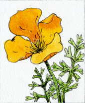
Peter and Donna Thomas' 2006 Route
I. Santa Cruz-San Francisco-Oakland
Day 2 Day 3
Day 4 Day
5
Day 6 Day 7
II. Santa Clara Valley (Day 8 through 10)
III.
Pacheco
Pass
(Day 11 through 20)
IV.
San Joaquin
Valley
(Day 21 and up)
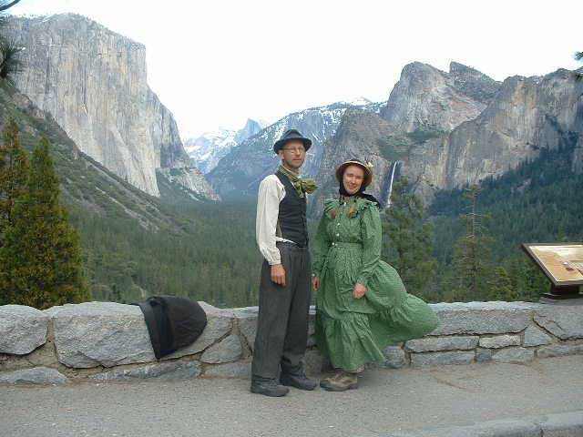
VI. Yosemite
VII. Wawona
VIII. Return to Santa Cruz
Day 31 May 9
17.5 miles (Donna 19.5)
Kinsley Flat to Pilot Peak Fire Lookout
 While clearing their land, Richard and Lynn had found a section of the old Coulterville Free Trail that Muir and Chilwell had followed. It was narrow, never meant for wagons, and hung on the steep hillside above Bull Creek; the old rockwork still supporting the trail. Donna lost a shoe as we crawled over a gate, and I only noticed a mile later when we were back on Bull Creek Road. She walked back to find it and that explains why she went two more miles than I did.
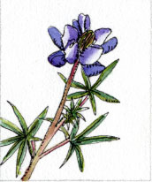
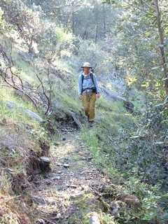
Bull Creek Road was dirt, but in surprisingly good condition: surprising because it was a long way from anywhere or anyone, but in better condition than most other dirt roads we had walked in even more populated areas below. The road followed the creek for several more miles, alternating through hot chaparral covered hillsides and cool conifer forests, depending on the exposure. We stopped for lunch where huge granite rocks made a path through the buckbrush and poison oak down to the river. The water was running cool and clear. We watched water ouzels bob their bodies at the edge of rock pools with little falls. We sat under a tree, the river edge glimmered with fool's gold and it got me thinking that I might find a gold nugget, so I started digging. I found some little pebbles, but no gold, then, crammed between a root of the tree and the granite rock I found something. It was not gold, but silver, an old dime, oddly tarnished brown. I was as excited as a 49er, calling out "Eureka". Donna rushed over to see what I had found, and with her better eyesight found a date: 1986. So it was not even silver, just a composition coin with the silver was worn off.
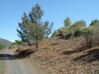
It was the longest and hardest of the trip. The road left the creek and began to head upward. We quickly gained elevation. We passed through Anderson Flat (where the old saw mill had come from) and Deer Flat, and headed on up towards Pilot Peak. We passed hillsides where the chaparral under plantation forests had been ground into compost. Richard had said we might see the "munchers" giant excavators with grinder attachments used by forest service contractors for fire control. We guessed this explained the roads condition: they had been graded by the forest service and not the road repair poor Mariposa county.
 We walked for 6 hours after leaving Bull Creek and saw no one. Muir had mentioned Deer Flat and Pilot Peak so we knew we were closely following his path. The roads were not clearly marked. We took a road to the right, thinking that it should be the Old Coulterville Road, but after a mile or so it turned out to be a dead end. Half way back, at a flat with a gunshot water trough, I had seen a path that headed straight up the hill through the chaparral and pines. We hoped it would take us up to the real old Coulterville Road, but, as it crawled around contours, over and under fallen trees, it got smaller and smaller, and finally ended at a spring. So we had to retrace our path and get back to the main road, a three mile detour.
We wanted to sleep at the Pilot Peak fire lookout, and that goal drove us to keep walking when logic said quit. By the time we got to the fire lookout turnoff, the sky was getting dark. The raking light gave spectacular views of the snow covered Sierra to the east. We still had a mile and a half to go, and became like mindless walking machines. It was too much effort to talk, we just put one foot in front of the other as the road steeply snaked its way up and around Pilot Peak. The sun set. The sky turned red. The view faded to black. Then the moon, almost full, rose and everything turned silver. We arrived at the lookout dead tired, but were could not help but be revived by the 360 degree view of the world, luminous in moonlight, below us.
designed by Julia van der Wyk © 2006